Photos of Northern Cape, South Africa’s largest and most sparsely populated province

Northern Cape, South Africa’s largest and most sparsely populated province
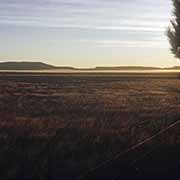
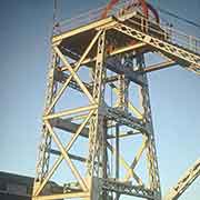
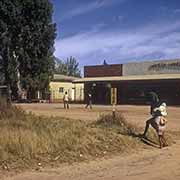
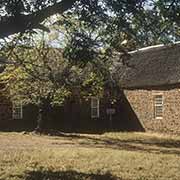
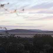
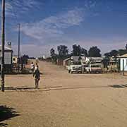
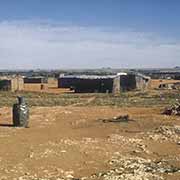
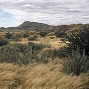
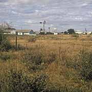
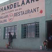
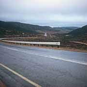
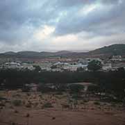
Created in 1994 from the northwestern part of the giant Cape Province, the Northern Cape is dominated by the Karoo Basin with a mostly arid to semi-arid climate. Its capital is Kimberley, known for its 19th-century diamond mines that made a fortune for Cecil Rhodes, who established the De Beers diamond company in 1888. Kuruman is 236 kilometres by road via Danielskuil through an arid landscape and is known as Oasis of the Kalahari due to the Eye of Kuruman: a spring bringing water from deep down. Robert Moffat, a missionary from the London Missionary Society, built his church here; it was completed in 1838.
you may then send it as a postcard if you wish.
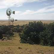
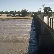
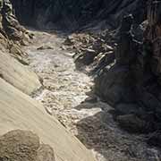
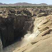
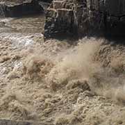
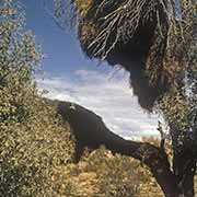
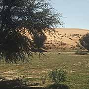
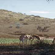
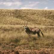
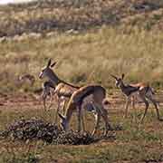
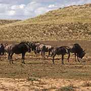
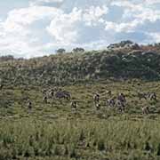
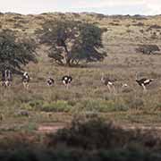
In the far northwest is the Kalahari Gemsbok National Park, part of the Kgalagadi Transfrontier Park that is shared with Botswana. The spectacular Augrabies Falls on the Orange River is south of there, a National Park. Its name comes from the Khoikhoi (Khoekhoe) people who named it Ankoerebis, ‘place of great noise’. The region along the west coast, extending into Namibia, is known as Namaqualand and refers to the land of the Nama, the largest group of Khoi people, who traditionally speak their language with its distinct “clicks”.
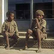
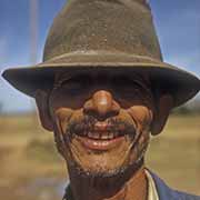
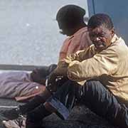
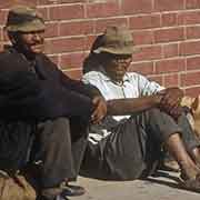
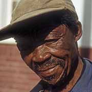
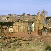
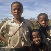
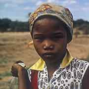
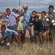
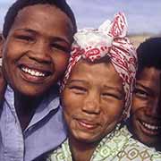
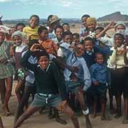
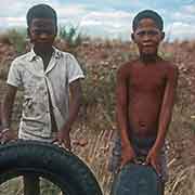
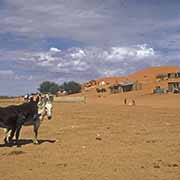
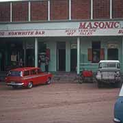
About 68% of the population speak Afrikaans as their first language, the highest of any South African province. The majority of people could be classified, in the apartheid days, as Coloured. Setswana speakers make up 33% of the population, and some people self-identify as San (formerly called Bushmen), who still may retain their languages, but no longer live from hunting. The provincial motto is “Sa kǁʔa: ǃaīsi ʔuīsi” (‘Strive for a better life’); it is in the Nǀu or !Auni language, a now extinct Khoisan language of the Nǁnǂe or ǂKhomani San people. One of the last people who could speak it was the late Ms Elsie Vaalbooi of Rietfontein, who gave the phrase in 1997.